state.gif (2777 bytes)
Mount Olympus
1998
Washington Outdoors (5772 bytes)The High Divide Mount Olympus

MainWashington Outdoors - Main

The OlympicsThe CoastMount OlympusMount Olympus 1998The High DivideThe Traverse - West to EastThe Traverse - North to SouthThe Tubal Cain Mine TrailAvalanche CanyonThe BrothersMount Gladys

The CascadesMount Rainier from a DistanceOn Mount RainierMount Rainier 2004Pinnacle PeakMount Saint HelensMount AdamsWinter '98-'99

 
links.gif (2225 bytes)

comments.gif (2335 bytes)

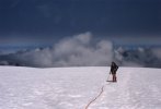
In 1998, Andy and I returned to Mount Olympus.  Typical August weather prevailed with no rain in the "rain"forest.
 

Upper Hoh
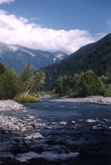
The upper Hoh near Olympus Ranger Station a.k.a. "Ranger Roy's".
 

Andy on the Snow Dome Bergschrund near West Peak Bergschrund near West Peak
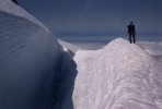
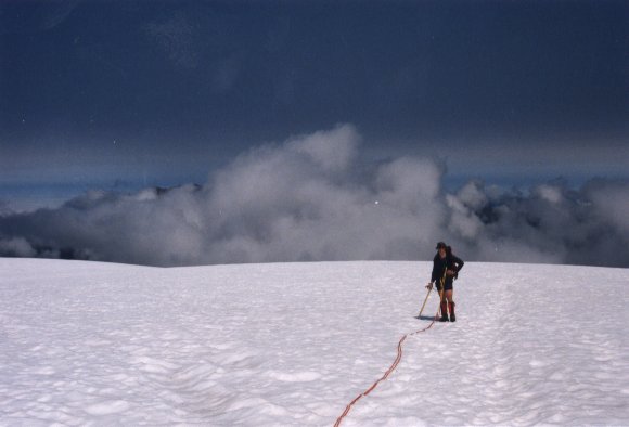
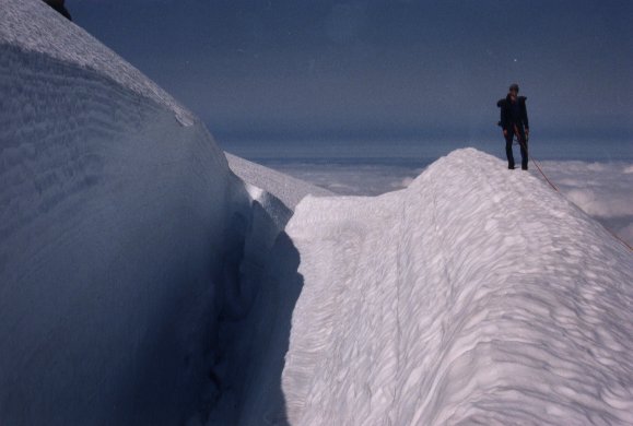
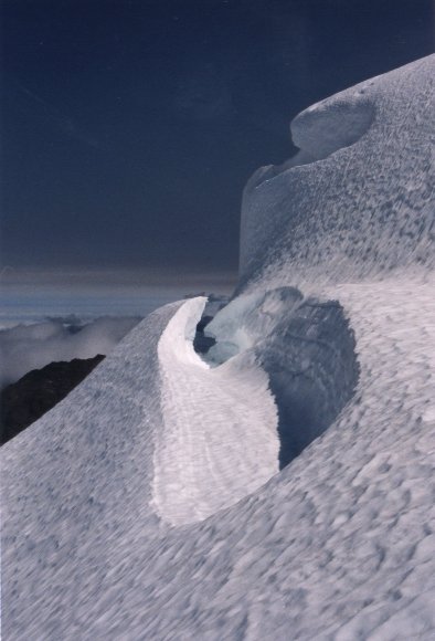
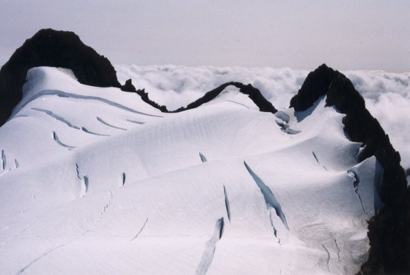
On top of the Snow Dome then near West Peak via the direct route.
 

The Wave Looking Southwest from Mount Olympus (2813 bytes)
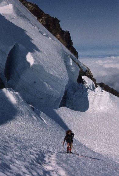
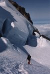
Even though Mount Olympus tops out at 7,965', it has some of the most spectacular snow formations due to the extraordinary amount of precipitation received through the year.

 
email.gif (2257 bytes)